Showing posts with label Harlington. Show all posts

Wednesday, 24 April 2024

London Loop, Section 11 (part one).

April 19th

At the end of section 10 I could have got a train home from Hayes & Harlington station but chose to press on along Section 11 to West Drayton, a convenient point for me to both break off and to return another day to complete the section. Reports had suggested that the latter part of Section 11 might still be impassable due to flooding from the River Colne or at least if not then probably very muddy. That’s my excuse anyway. So having stopped briefly in Hayes town centre to grab a coffee and find a loo I rejoined the LOOP under Bridge 200 and headed west along the Grand Union towpath, past a cast iron milepost “Braunston 87 Miles”, and under bridges 199 and 198, past a Mallard mum with 10 (or 11, you try counting them!) very small fuzzy ducklings. Then under bridge 196 (I don’t know where 197 went) where a convenient bench presented itself on which to pause, watch a couple of boats go by, and eat the piece of home-made bread pudding I remembered I’d packed that morning.
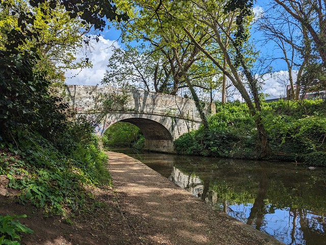
 
 London LOOP Section 11, Bridge 196, Rigby Lane.
 
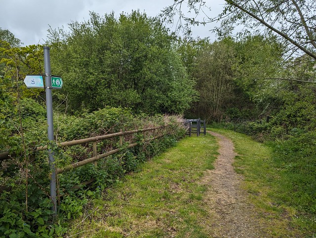
 Just before the next cast iron milepost (Braunston 86 Miles) the LOOP leaves the nice level towpath and turns right through a metal gate leading to Stockley Park. This 1980s business park, golf course, and country park is built on former brickfields and dumping ground, upon which about 140,000 new trees and shrubs were planted to create a woodland area.
 
 London LOOP Section 11, Stockley Park, an avenue of Lime trees.
 
 Across the entrance drive and alongside the golf course the route passes through an avenue of Lime trees, their spring foliage bright green, then through the edge of the business park and past the modern Golf Clubhouse where it bears right and starts to climb up past the entrance to the tenth tee and onward to the A-frame bridge across Stockley Road. About here I encountered the only other obvious “LOOPer” that day, closely and a little uncertainly following the route on his mobile phone screen.
 
 London LOOP Section 11, Stockley Road bridge.
 
 I passed ‘phone man’ on the way up the gravel track towards the viewpoint, which I diverted to up the short steep climb to the right of the path. You can see quite a way from this high point in Stockley Country Park although most of the details are obscured by tree cover. ‘Phone man’ passed by below while I was taking in the view.

 
 London LOOP Section 11, Stockley Country Park, viewpoint panorama.
 
Down from the viewpoint and back on the main path SSW across the country park and into the woodland along narrow paths partly obstructed by fallen trees until I got to the metal gate at Horton Road. Where ‘phone man’ suddenly appeared behind me so I’ve no idea which way his phone had taken him through the woods. On the other side of the road there is a choice of onward route, either following the roads or the “recommended alternative” along a new gravel path, Weston Walk, through a small park to an odd grassy mound like an Iron Age tumulus with a path around the base. I chose the latter obviously.
 
 London LOOP Section 11, Weston Walk mound.
 
 Beyond the mound a set of steps leads back down to the Grand Union towpath, to turn right to rejoin section 11 of the LOOP. Seems to be popular with afternoon joggers and pram-pushers but from here it’s straight along the canal, with the Great Western main line on the other side, under Horton Road bridge (193) towards West Drayton.
 
 London LOOP Section 11, Grand Union Canal, West Drayton.
 
 The next bridge (192) is adjacent to West Drayton railway station so that’s where I called it for the day and got the train home. I hope to be back when things have had a chance to dry out a bit on the rest of Section 11 when I’ll continue along the Grand Union and then up by the Colne to Uxbridge.
 
 
 London LOOP Section 11
 
 And I didn’t even get wet on this bit.
 

Tuesday, 23 April 2024

London LOOP, section 10.

April 19th

I want to walk the London Outer Orbital Path, usually tautologically referred to as the London Loop. This trail, nearly 150 miles long almost encircles Greater London, split into 24 sections between Erith station and Purfleet. The sections all start/finish close to public transport nodes making it really convenient if you live inside the loop. I don’t live inside the loop so it will be quite inconvenient, especially given the limited public transport options where I do live. I might never actually complete the whole thing but if I don’t start somewhere then I certainly won’t finish it. So what better place to start than the nearest bit, Section 10 from Hatton Cross to Hayes & Harlington. I downloaded the map and guides for Section 10 from the Inner London Ramblers website and picked the following Friday as the day to make a start. Yes of course that turned out to be the only day that week when rain was forecast because Sod’s Law applies. 🙄
 
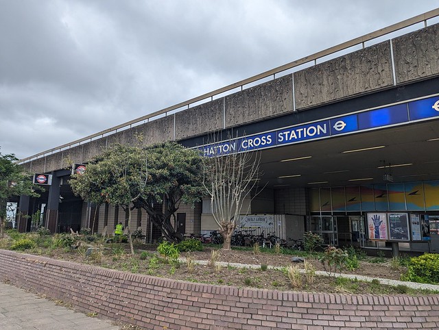
Two buses and a tube got me to Hatton Cross Underground station, at which I’d never previously got on or off, so ✔︎. From there it’s a short walk alongside the A30 Great South West Road to the start of Section 10 proper by the bridge over the River Crane.
 
 London LOOP Section 10, Cranebank.
 
 This is River Crane Park and the path heads north through the woods beside the river and out into an open space and once you are away from the road it almost feels like countryside. On leaving the open space the route runs through suburban semis with double glazed windows to mitigate the sound of the jets on the flightpath overhead, streets not too dissimilar to the one on which I was born. On reaching the A4 Bath Road I crossed and turned left, at which point enough rain arrived that I had to put on my waterproof coat and then crossed back over the River Crane on the road bridge.
 
 London LOOP Section 10, Bath Road bridge over the River Crane.
 
 Shortly after which the route turned right into the next green bit, Berkeley Meadows, named after the ancient English landowning family whose name also gave us the square in which nightingales sang and the hunt from which we get the rhyming slang, "berk". Exiting the path at the north end and crossing the road carefully it’s into the woods along muddy paths alongside the Crane until reaching the large open field which is Cranford Country Park. Across which the rain was now blowing horizontally from the left 💦
 
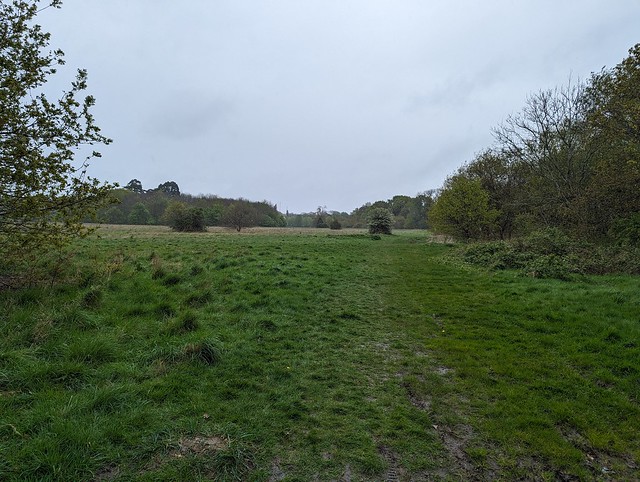
 London LOOP Section 10, Cranford Country Park.
 
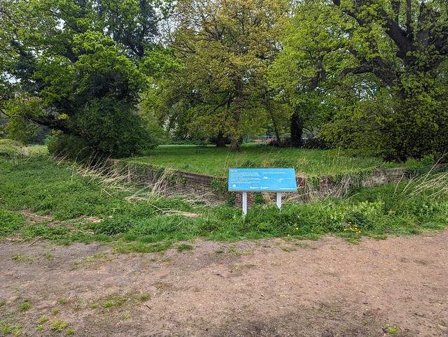
 And across which I had to walk diagonally to get to the exit after passing the Ha-Ha which separated the garden of Cranford House, one of the homes of the Earls of Berkeley (now demolished) from the open parkland. A Ha-Ha being a ditch with a vertical wall on the inner side designed to keep deer, livestock, peasants etc. out of the garden without the wall spoiling the view from the house. Ha-ha supposedly being what people said when they saw it. Or fell into it. 
 
 London LOOP Section 10, Ha-Ha, Cranford House.
 
 I was too wet to laugh at it but by the time I’d crossed the car park the sun had come out and I found a dryish bench under a large Yew in the churchyard of St. Dunstan’s Cranford on which to pause and eat my picnic sandwich. Doesn’t look like it’s right next to the M4 Motorway, does it?
 
 London LOOP Section 10, St. Dunstan's Church, Cranford.
 
 They didn’t build it next to the motorway of course because that wasn’t there when the Saxons built the first church, or in the 15th and 17th centuries when the current building was constructed. The church is locked outside of mass times so I missed seeing the memorial to the comedian Tony Hancock and the memorials to the many berks sorry, Berkeleys that lie within. Picnic consumed I crossed the cobbled (setts) yard and passed under the arch of the old stable block, then under the motorway and turned right into the wonderfully named Dog Kennel Covert, a strip of woodland through which runs the Loop, the Hillingdon Trail, and the River Crane also known here as the Yeading Brook which forms the boundary between the boroughs of Hounslow and Hillingdon. For a bit of urban edgelands it had a pretty good display of Bluebells.
 
 London LOOP Section 10, Dog Kennel Covert bluebells.
 
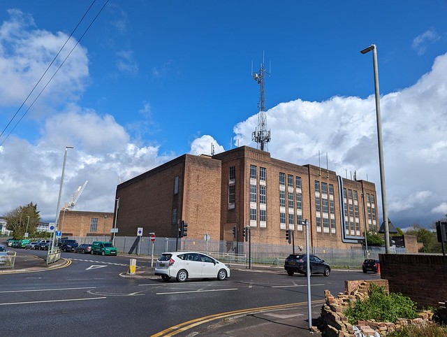
 Emerging from the park via Watersplash Lane my eye was drawn to a large art deco factory or office on North Hyde Road, topped by an incongruously large cellsite aerial tower. I can’t find any information about this building, it seems to be outside the area of the former Nestle factory site across North Hyde Gardens. Something to do with the electricity substation to its north maybe?  If you know, comment below.
 
 London LOOP Section 10, North Hyde Road, what's this building?
 
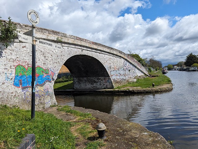
 Passing the above building and bearing round to the left and up onto the  flyover of The Parkway (A312), across the Grand Union Canal and down a long zig-zag ramp to the canal towpath and a little diversion to Bull’s Bridge Junction where the Paddington Arm joins the main Grand Union, giving London a direct link to the national canal network rather than via the Thames at Brentford. Next to the white painted brick Bull's Bridge is a finger post giving the distances to Brentford 6 miles, Paddington 13½ miles, and Braunston 87½ miles. Or it would do if some twat hadn’t snapped off half the sign pointing to Braunston. Cut off their goolies I say.
 
 London LOOP Section 10, Bull's Bridge Junction, Grand Union Canal.
 
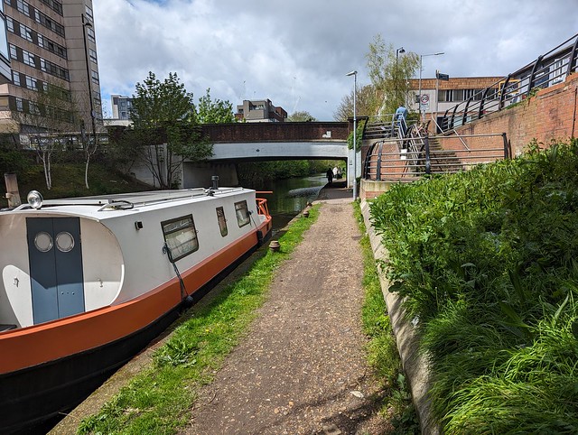
 Retracing my steps along the canal towards Braunston  and under the flyover the end of section 10 was almost in sight. Just a stroll along the towpath underneath the railway bridge carrying the Great Western main line and Crossrail Purple train Elizabeth Line then to Bridge 200, Station Road, the end of Section 10 near Hayes & Harlington Station.
 
 London LOOP Section 10, Grand Union Canal, Hayes, End of LL10.
 
 Section 10 ✔︎
 
I could have got the train home from here but the sun was out, it was only half past one, and I could manage another few miles so I continued on Section 11 to West Drayton. Post about that to follow.
 
 
 London LOOP Section 10