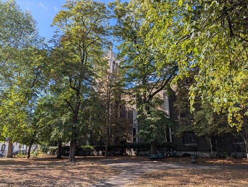
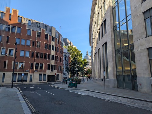
14th September 2026
Up in town for an evening meeting at the London Transport Museum I had enough time to go south of the river and complete the Green Link Walk to Peckham. I took the path leading away from the Thames down the side of Tate Modern to Holland Street and round the back of the gallery, grabbed a sandwich from the Co-Op in Summer Street and crossed Southwark Street.
In Great Suffolk Street I passed the Hilton Hotel and then under three bridges, the first carrying a service road and the other two railways to Blackfriars and Charing Cross.

This area is defined by its railway bridges carrying multiple lines over the streets of Southwark so when I turned right into Pocock Street I passed under the line from Blackfriars again. At the end of the road by the huge mural on the end wall of Friars House I turned left onto the noisy Blackfriars Road heading south.
I soon reached St. George’s Circus with its tall stone obelisk. Constructed in 1771 as a grand southern entrance to the City of London it is now a busy roundabout. The base of the obelisk bears on one face the inscription Erected in XI year of the reign of King George MDCCLXXI, with the inscriptions on the other three sides reflecting the obelisk’s distances from certain London landmarks. One Mile From Palace Yard, One Mile XXXX Feet From London Bridge (one mile 40 feet) and One Mile CCCL Feet From Fleet Street (one mile 350 feet).

I turned left at the circus down Borough Road and once beyond the red brick and terracotta Passmore Centre (formerly the Passmore Edwards St George the Martyr Public Library and now used by London South Bank University) I crossed over the road and went down Keyworth Street, somewhat against the flow of students. A small plaza between two of the university buildings provided a bench on which to pause and eat my sandwich, watched over by a security guard.
After lunch I carried on to Newington Causeway, turned right to Elephant & Castle. It had been a long time since I was here last and it has changed through redevelopment (gentrification?) almost beyond recognition. The early 1960s’ Elephant and Castle Shopping Centre (the first of its kind in Europe) has gone. Tall towers have sprung up. The slightly silly name “Elephant Park” has appeared. At least the landmark colourful Elephant & Castle sculpture from the old shopping centre has found a new home on top of the small Castle Square retail area off Elephant Road.

Opposite the railway station I turned left through Castle Square and Elephant Park (I don’t know if you are allowed to park an elephant there, I didn’t see any) and at the end of Ash Avenue crossed over into Victory Community Park. I turned south along Balfour Street then east along Chatham Street to reach the next bit of green space, Salisbury Row.

I followed the Green Link waymarks across the park which differ from the directions in the guide which exit into Barlow Street and then pass under the bulky block of flats, Eugene Cotter House to reach Tatum Street. Following the signs I exited the park to the north east of Eugene Cotter House, went along Beckway Street and passed between Eugene Cotter House and Ellery House to turn left along Tatum Street. I don’t know who has signposted this alternative route or why. There were hardly any people on the streets here mid-afternoon which was slightly eerie. I did feel that I wouldn’t want to walk through here after dark.
A right turn and then left by the Huntsman pub followed by a succession of back streets heading roughly south east brought me to Surrey Square.

Straight across the park and out beside Tenterden House through the postwar Kinglake Estate to Albany Road and across into the wide open and sunny expanse of Burgess Park. I turned right at the lake and followed the broad path alongside it to a bench where I sat a while watching the world go by for here at last there were people. Also geese. Photo-bombing pigeons as well.

I carried on west across the park to Chumleigh Gardens, formerly a set of almshouses called the Female Friendly Society Asylum. The multi-cultural garden, established in 1995, in which the Georgian buildings stand are “Designed to reflect the area’s diversity, Mediterranean, Islamic, Oriental, African & English gardens rest side by side.” There’s a cafe here with a large unfriendly sign outside the door pointing out that Public Conveniences are located in the next building. Inconveniently these were closed due to vandalism 😒

Turning first south and then east along the south side of Burgess Park I joined the route of the Grand Surrey Canal. Constructed in the early 19th century to carry timber from Surrey Commercial Docks in Rotherhithe through South London to Camberwell and Peckham (and was initially planned to go further still but that didn’t happen). The canal closed between the 1940s and 1970s and was filled in. parts were built over but other parts turned into roads or linear parks. In Burgess Park a redundant bridge over the canal was left in place and became known as The Bridge to Nowhere.

I passed beneath The Bridge to Nowhere and left Burgess Park crossing Sumner Road to join the Surrey Canal Walk which heads south along the route of the Peckham Branch of the Grand Surrey Canal, passing under two more former canal bridges which at least still carry traffic, first on Willowbrook Road and then Commercial Way.

The canal route ends at Peckham Square - the Library is built on the site of the terminal basin - and the Green Link Walk finishes on the other side of the Square, underneath Peckham Arch on the High Street. A high street that was occupied by a Metropolitan Police Live Facial Recognition operation with cameras set up in the street. I don’t know who they were looking for. Two brothers selling dodgy goods out of a suitcase perhaps? Mange tout, Rodders!

Green Link Walk ✅
33 photos from Green Link Walk section 4 on Flickr. Opens in a new page or as a slideshow below if your viewer supports it.

A few thoughts. The Green Link Walk cuts across London from North to South linking some 40 areas of green space - although some are small enough that you’ll miss them - and keeps where it can to mostly quiet streets. On the way it passes through quiet residential areas, the City, tourist hotspots, and bits of London you probably never thought to visit. At 15 (or 16) miles it’s easily doable in three outings. Two if you’re fit and keen. One if you’re a lunatic.
Route guidance is downloadable for free from the Inner London Ramblers here.
The four sections are marked on openstreetmap.org
GPX files for mapping on your phone can be downloaded from Footways.